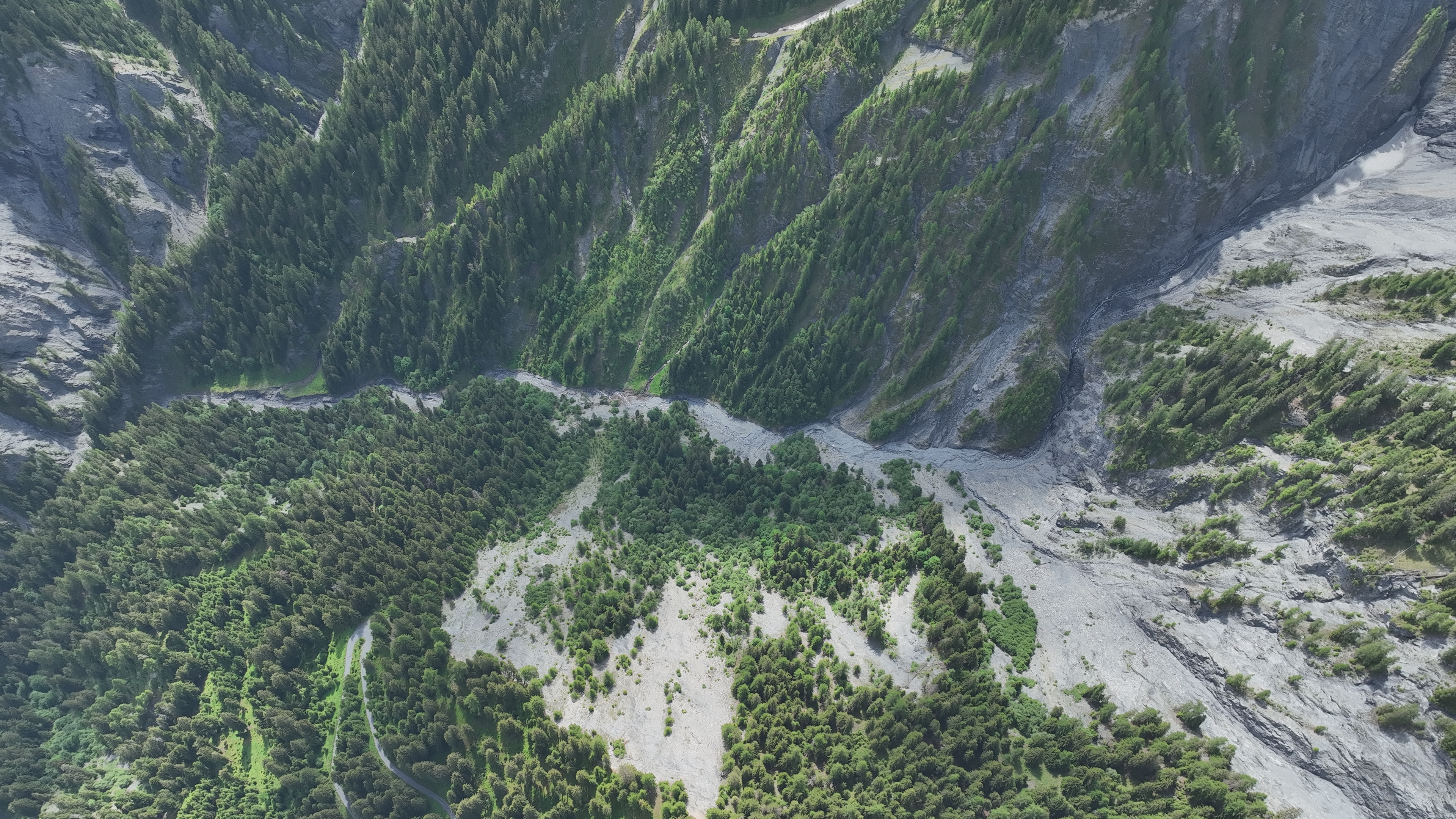
Rhaetian Railway: early warning for the Carrerabach torrent
Rather than measuring at the structure, GMD® monitors the entire catchment of roughly 14 km² in real time – off-grid, year-round and without existing infrastructure on site.
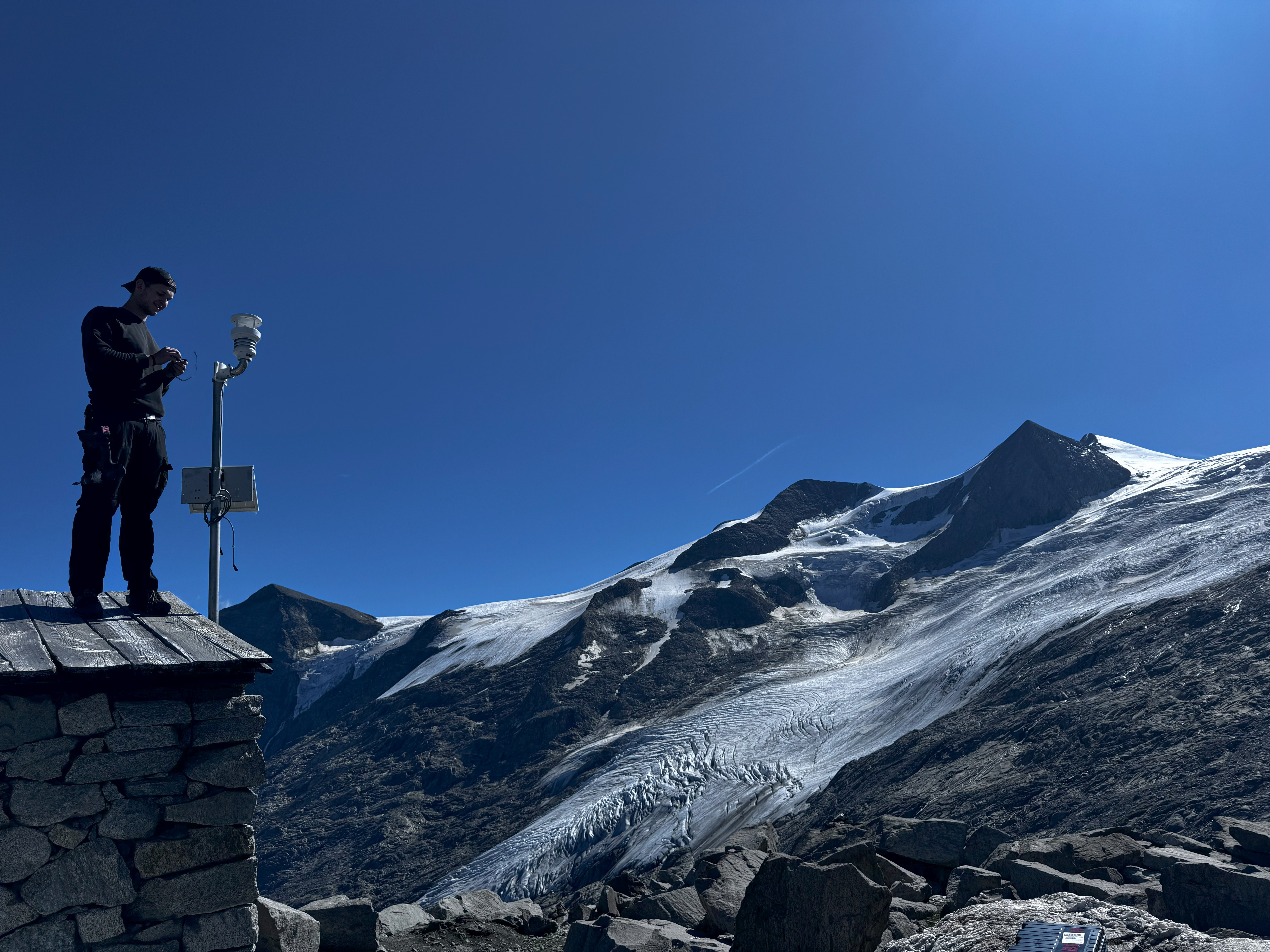
Off-grid sensors measure where debris flows, floods and slope movements begin. GeoSenseAI® turns those readings into a live situation overview that municipalities, authorities and infrastructure operators can act on.
Schematic view of a monitored torrent catchment – not live data.
Heavy rain, snowmelt, rising water levels and sediment transport often change a catchment hours before an event reaches homes, roads or railway lines. Measuring only at the valley floor means seeing that development late.
That is why GMD® starts where the process starts: with self-powered sensors in the channel, on the slope and on the rock face, streaming data to GeoSenseAI® around the clock.
Early warning is more than an alarm. The system supports decision-makers from continuous situational awareness through to documenting what happened.
Water level, rainfall and movement data are condensed into a traffic-light status for each catchment, so a pre-alert can be raised early and response teams put on standby.
GeoSenseAI® automatically notifies the designated contacts via app, text message or email. The responsible authorities decide what happens next. [GMD MUSS PRÜFEN: confirm alert channels]
Drone surveys and terrain comparison show what has changed and which buildings and routes are affected – without sending staff into the danger zone. [GMD MUSS PRÜFEN: maturity: automated, sensor-triggered drone flights currently in development/pilot]
GMD® systems provide measurements and decision support. They do not replace official warnings or the assessments and operational decisions of the responsible authorities and emergency services.
Each process needs its own measurements. The colour identifies the hazard type, consistently across this website and in GeoSenseAI®.
Water level, rainfall and ground vibration in the channel to detect sediment transport and the early stages of a debris flow.
Water level, flow velocity and rainfall in tributaries and urban streams – including signs of blockages at bridges and culverts.
Automated detection of vibration and micro-movement on rock faces, masonry and protective structures.
Long-term tracking of tilt, displacement and soil parameters to make slow trends visible.
Additional measurements to support the assessments of avalanche commissions and operators. [GMD MUSS PRÜFEN: confirm avalanche scope]
Sensor-based early detection in forests at risk. [GMD MUSS PRÜFEN: confirm maturity of wildfire offering]
GMD® designs its own measurement hardware, installs it in the field and runs the system as a service – so municipalities don't need in-house specialists.
Selected projects with partners in Graubünden (Switzerland) and Tyrol (Austria).

Rather than measuring at the structure, GMD® monitors the entire catchment of roughly 14 km² in real time – off-grid, year-round and without existing infrastructure on site.

A self-powered sensor system measures spring discharge, water level and consumption and transmits the data without any existing power or data infrastructure.
“With climate change, sensor-based monitoring is becoming ever more important for keeping people safe in the Alps.”
Steve Weingarth, founder and CEO of GMD® GmbH [GMD MUSS PRÜFEN: approve English wording of quote]
An interdisciplinary team spanning geoinformatics, hydrology, data science and embedded engineering, with offices in Innsbruck and Landquart and projects well beyond the Alps.
Tell us about the site and the hazard. We'll come back to you with an initial technical assessment.