
Sensors and technology for off-grid monitoring
GMD® builds measurement hardware for places without power or connectivity: in torrent channels, on rock faces and at high altitude.
Edge IoT sensors
Our sensors capture hydrological, meteorological and geotechnical data directly in the hazard zone and pre-process some of it on the device, so only relevant information is transmitted – saving energy and bandwidth.
Floods and debris flows
Water level, flow velocity, rainfall and ground vibration in the channel.
Rockfall
Seismic sensing and acceleration measurement on rock, masonry and protective structures.
Visitor counting
Self-powered counters for managing visitor flows on trails and at hotspots, privacy-compliant and camera-free. [GMD MUSS PRÜFEN: confirm “camera-free” (radar sensor)]
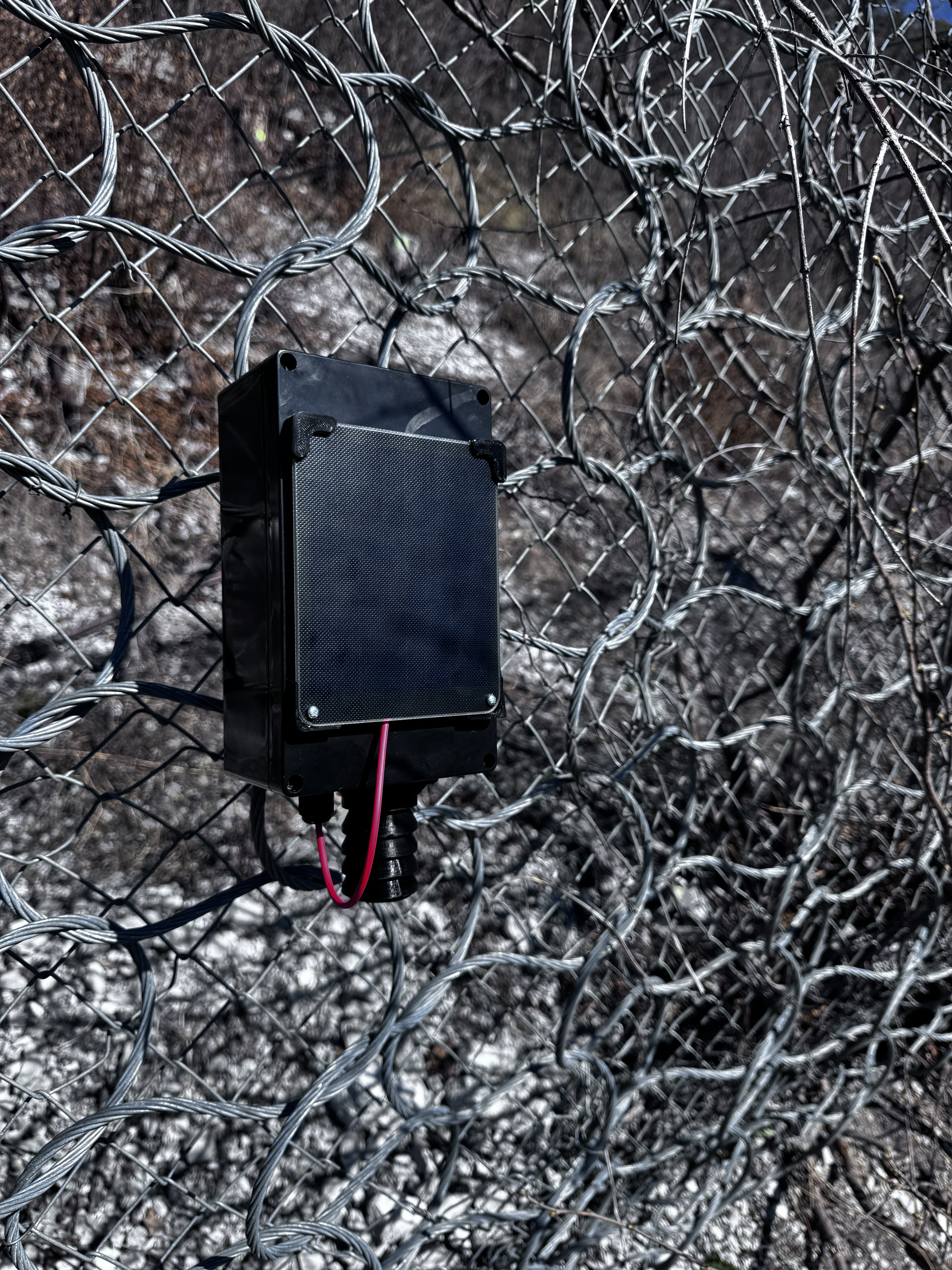
Self-powered and wirelessly connected
Many hazard zones have neither a power supply nor mobile coverage. GMD® sensors are designed for exactly that.
- Off-grid operation
- Solar and battery power, year-round in alpine terrain. [GMD MUSS PRÜFEN: state runtimes/operating temperatures only with test evidence]
- Wireless transmission
- Data travels by radio to gateways and on to GeoSenseAI®, adapted to the local topography.
- Edge AI
- On-device pre-processing to tell typical event signatures apart from noise such as rain, vehicles or stream flow. [GMD MUSS PRÜFEN: label as “in development”?]
- Self-healing mesh
- In the next development stage, geophone nodes connect to each other so that a single failure does not interrupt transmission. [GMD MUSS PRÜFEN: approve development status]

Autonomous drones and terrain comparison
A stationary drone dock enables survey flights without a pilot on site. LiDAR and photogrammetry produce high-resolution terrain models.
Comparing them with a reference survey shows where terrain or the stream bed has changed and how much material has moved. GMD® is working on triggering these flights automatically from sensor events. [GMD MUSS PRÜFEN: approve maturity of triggered flights]
Flights beyond visual line of sight require regulatory approval, which we handle as part of the project.
LiDAR and photogrammetry surveys
We also deliver terrain models, point clouds and orthophotos as a stand-alone service, for example for hazard mapping, protective works planning or event documentation.
Digital twin
Terrain, buildings and infrastructure are combined in a 3D model and linked to live sensor data. This makes it possible to estimate which assets an event could affect – for planning, exercises and response.
In-house engineering
GMD® develops its hardware, firmware and platform in-house, in its own lab and together with research institutions. [GMD MUSS PRÜFEN: approve mention of own lab, PCT application and research partners]
Next: GeoSenseAI® and monitoring and early warning

Technical questions about your site?
Talk directly to our engineering team about sensor concept, radio coverage and installation.